OS MasterMap is a comprehensive digital mapping dataset produced by Ordnance Survey (OS), the national mapping agency of Great Britain. It provides highly detailed and accurate geographic information, including features such as roads, buildings, land use, and terrain, at various scales.
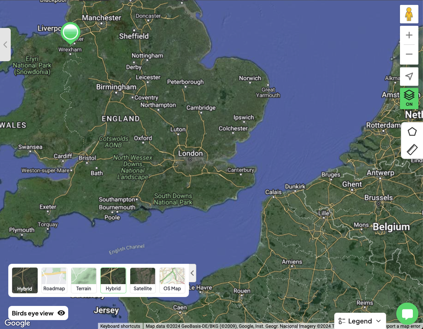
To access it, click the square map button located in the bottom left corner of your map interface. This will show map view options, including Hybrid, Roadmap, Terrain, Satellite, and OS Map.
Please note that each time you utilise the OS Map, MasterMap credits will be deducted from your balance.